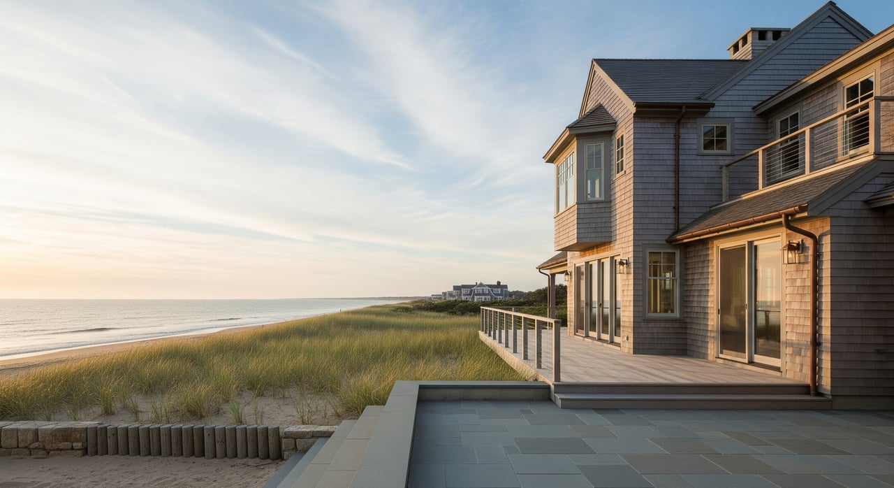
If you own or plan to improve a coastal home in Westerly, the setback line you expect is often not the one that applies. It is common to discover that dunes, wetlands, or a coastal bank move your project farther inland than a parcel map suggests. You want a clear path to design and permitting without last‑minute surprises. This guide explains how CRMC setbacks work in Westerly, what to verify before you hire a contractor, and the steps that keep your timeline on track. Let’s dive in.
What CRMC setbacks mean in Westerly
Setbacks are distances that keep development away from sensitive and hazardous coastal areas. In Rhode Island, the Coastal Resources Management Council (CRMC) uses these lines to lower risk from erosion and storms, protect beaches, dunes, banks, and wetlands, and preserve public coastal resources.
CRMC review is often required if your project touches or falls within specific distances of a coastal feature. That includes new homes, additions, decks, septic expansion, and shoreline protection like seawalls. In Westerly, the most common features that trigger setbacks are sandy beaches and dunes, eroding coastal banks or bluffs, tidal wetlands and salt marshes, and rocky shores.
How setback lines are determined
CRMC does not use one fixed statewide distance. Instead, it combines the mapped coastal feature on your lot with erosion rates and safety factors to draw a site‑specific line.
Identify your shoreline feature
Reviewers first locate the controlling feature on or adjacent to your property. That could be the dune crest or toe, the mean high water line, a coastal bank crest or toe, or the edge of a coastal wetland. The feature location can come from field surveys, aerial imagery, or CRMC map layers.
Erosion rates and multipliers
CRMC uses long‑term erosion rates at your location to project a future shoreline for a chosen design life. Reviewers then apply an erosion‑rate multiplier as a safety factor and may add a structure life or fixed buffer. The exact numbers can vary by feature type, policy updates, and permit context, so you should ask CRMC staff which rate, multiplier, and planning horizon apply to your site.
Buffers for dunes and wetlands
Some features carry extra buffers. Dunes typically require undisturbed zones around the crest and toe to protect vegetation and sand movement. Coastal wetlands and marshes need vegetated buffers that maintain water quality and marsh function and can involve both CRMC and state wetland rules.
Why maps are not surveys
CRMC maintains digital layers for features, erosion rates, and hazard areas. These tools are great for planning, but they do not replace a stamped boundary and feature survey. A professional survey that shows property lines and verified feature lines is often required for permits.
How to verify your setback in Westerly
You can avoid major revisions by confirming your feature and setback early.
Start with CRMC resources and staff
Check CRMC’s public maps for coastal features and erosion rates near your parcel. Then call or email CRMC with your assessor’s map and lot number. Staff can confirm jurisdiction and which mapped features intersect your property.
Order a coastal feature survey
Hire a licensed land surveyor experienced with coastal work. Ask them to locate the mean high water line, dune crest and toe, coastal bank crest and toe, wetlands edges, and your property boundaries. Ensure the survey notes datum, imagery dates, and the methods used in the field.
Request a written determination
If your design is close to a setback line, request a CRMC pre‑application meeting or written determination. Getting clarity in writing reduces surprises during formal review.
Coordinate with the Town of Westerly
Westerly’s building, zoning, and planning departments will require local approvals and may ask for CRMC permit documents. Confirm local rules and sequencing so your applications move in sync.
Check FEMA flood zones and state wetlands
FEMA flood maps influence foundation type and elevation requirements. Tidal wetlands can also involve Rhode Island Department of Environmental Management policies. These layers may add buffers, elevation needs, or separate approvals.
Ask for the numbers used
As you plan, request the erosion rate, multiplier, and design life that reviewers will apply to your project. Keep those figures in your records and share them with your design team.
Design moves that avoid surprises
Early, landward placement is your best strategy. Even a modest shift inland can reduce review risk and future exposure.
Consider the type and permanence of what you build. Permanent structures like homes or garages face stricter standards than temporary or easily relocated elements such as seasonal sheds or elevated walkways. You can also design for adaptability with elevation and removable parts.
Elevated or open‑pile foundations help with flood risk and can support permitability, but they do not eliminate erosion‑based setback rules. Align your structural choices with CRMC guidance and local building codes.
When shoreline protection is needed, CRMC generally prefers soft approaches like dune restoration, vegetation, living shorelines, or beach nourishment. Hard armoring such as seawalls often needs strong justification and a permit that shows no feasible alternatives because hard structures can worsen erosion on neighboring lots.
Plan utilities and septic with care. Expanding septic or adding capacity in a hazard area can trigger stricter review. Coordinate with CRMC and local health officials early.
Expect lines to move after major storms. Design with room for feature movement and keep critical systems out of the highest risk zones. Setbacks and recorded conditions can affect insurance, lending, and future resale, so plan documentation with your lender and insurer from the start.
Common homeowner surprises
- Parcel maps do not show setback or feature lines. A structure that looks safely landward on an assessor’s map can end up seaward of a CRMC setback once features are surveyed.
- Older homes can be “existing nonconforming.” Repairs or expansions may be limited or need special approvals.
- A single storm can shift dunes or cause bank failures, changing what can be permitted the next season.
- CRMC maps rely on imagery from specific dates. Your on‑the‑ground survey might differ and still be valid, which can require field verification.
- Reviews, surveys, and reports add time and cost. Early engagement helps you budget and sequence work.
Quick planning checklist
- Step 1: Pull your parcel record and review CRMC maps for features and erosion rates. Check FEMA flood zones.
- Step 2: Speak with CRMC staff and ask which erosion rate and multiplier would apply.
- Step 3: Hire a coastal‑experienced surveyor and, if needed, a coastal or geotechnical engineer.
- Step 4: Choose a landward and adaptable design that favors soft‑engineering solutions.
- Step 5: Prepare CRMC and town permit packages with surveys, plans, and mitigation measures.
- Step 6: Keep approvals on file and plan contingencies for storms or re‑evaluation.
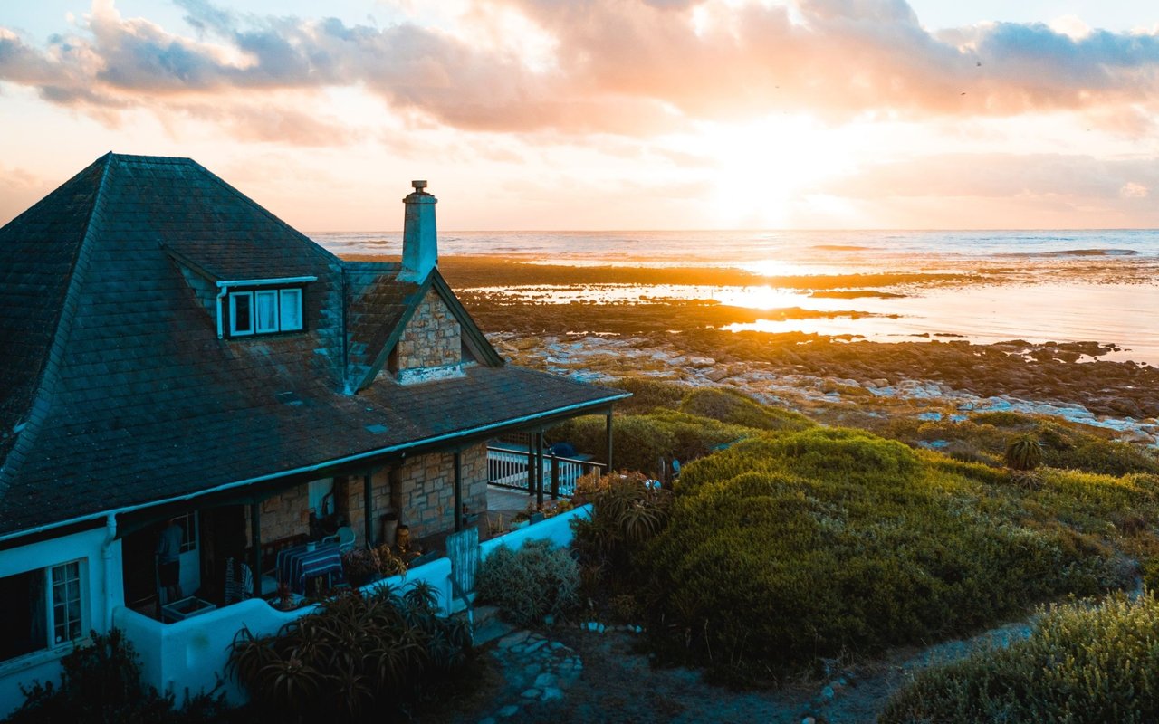
Westerly areas where this shows up
Misquamicut and Weekapaug have sandy beaches and active dune systems where buffers and setback shifts are common. Watch Hill and Quonochontaug include coastal banks and private armoring, which can bring cumulative impact considerations into review. Around the Pawcatuck River, tidal marshes and wetlands introduce additional buffer and permitting layers.
Next steps and local help
If you are considering an addition, a rebuild, or a new coastal purchase in Westerly, start with your feature lines and erosion rates. Confirm them with CRMC and a coastal surveyor, then choose a design that stays landward and adaptable. A little homework now can save months later.
Have questions about how setbacks could affect your sale or purchase strategy, pre‑offer diligence, or resale value? Reach out to Unknown Company. We can help you plan next steps, coordinate the right local experts, and move forward with confidence.
FAQs
How far from the beach can I build in Westerly?
- There is no single statewide distance. The setback depends on which coastal feature controls your lot, the mapped erosion rate at your location, and the multiplier and design life CRMC applies. Use CRMC maps and a survey to find your specific line.
Can I install a seawall to protect my house?
- Seawalls require CRMC permits and are often discouraged because they can increase erosion on neighboring properties. Where feasible, CRMC typically prefers living shorelines, dune restoration, or vegetation.
My house predates current rules. Can I rebuild?
- Many older shoreline homes are “existing nonconforming.” Rebuild and repair options depend on the extent of damage and current CRMC and local rules. Review your situation with CRMC and the Town of Westerly before you design.
Who pays for coastal surveys and reports?
- Homeowners pay for surveys, engineering, and permit application costs. Build these items into your project budget early to avoid delays.